Home > Europe > United Kingdom > Northern Ireland > County Down > Newcastle
Newcastle NE4 9 Map

![]()
Wall Art and Photo Gifts from Map Marketing
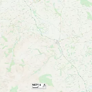
Newcastle NE4 9 Map
Postcode Sector Map of Newcastle NE4 9
Media ID 19974518
A167 Alder Avenue Almond Place Baldwin Avenue Bourne Avenue Cedar Road Convent Road Curtis Road Cypress Avenue Elder Drive Grange Road Greenway Hadrian Road Hall Avenue Heather Place Juniper Drive Kingsway Lewis Drive Linden Avenue Magnolia Close Middleton Avenue Newcastle Queensway Ridgeway Royal Crescent Sorrel Close Sutherland Avenue Willow Avenue Woodburn Avenue Palm Avenue
FEATURES IN THESE COLLECTIONS
> Europe
> United Kingdom
> Northern Ireland
> County Down
> Newcastle
> Europe
> United Kingdom
> Scotland
> Sutherland
> Map Marketing
> Postcode Sector Maps
> NE - Newcastle upon Tyne
> Maps and Charts
> Related Images
MADE IN THE USA
Safe Shipping with 30 Day Money Back Guarantee
FREE PERSONALISATION*
We are proud to offer a range of customisation features including Personalised Captions, Color Filters and Picture Zoom Tools
SECURE PAYMENTS
We happily accept a wide range of payment options so you can pay for the things you need in the way that is most convenient for you
* Options may vary by product and licensing agreement. Zoomed Pictures can be adjusted in the Cart.